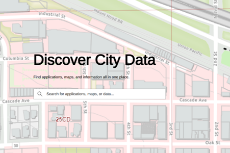
Hood River’s Data Has a New Home!
The City of Hood River is proud to announce its new Geo Hub!
What Is the Geo Hub?
A Geo Hub is a single website that hosts mapping applications, open data, and other GIS resources in one convenient place.
Historically, GIS applications, web maps, and data were placed throughout the City’s website. This made it difficult for the public to access the information they needed, requiring users to remember where specific resources were located. Now, with the new Geo Hub, users can easily access all available resources in one location.
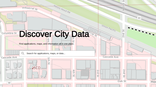
- Know what you are looking for? Use the search bar to quickly find any map or web application.
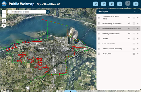
- Need quick information? The City’s web map is embedded on the page so you can easily view the most commonly requested City data.
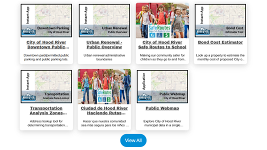
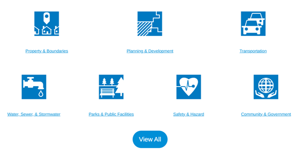
- Looking for a map or web application? Scroll down the page to see the most popular maps and applications, or click “View All” to see everything available.
- Interested in the raw data? Open data is organized by theme, or you can click “View All” to see a comprehensive list of all available City data.
Who Can Use the New Geo Hub?
The City of Hood River Geo Hub is meant for everyone!
General users can find basic information such as aerial imagery (updated in 2026!) City limits, the urban growth boundary, and much more. The Geo Hub is also a valuable resource for developers and technical users. City data is continuously updated and improved, and the Geo Hub allows users to access open data through direct downloads or the REST API.
Look for new maps and applications coming soon on the City of Hood River Geo Hub!
Questions or Concerns?
Contact the City of Hood River GIS Department:
Public Works Department
1200 18th Street
Hood River, OR 97031
GIS@cityofhoodriver.gov