
Latest News:
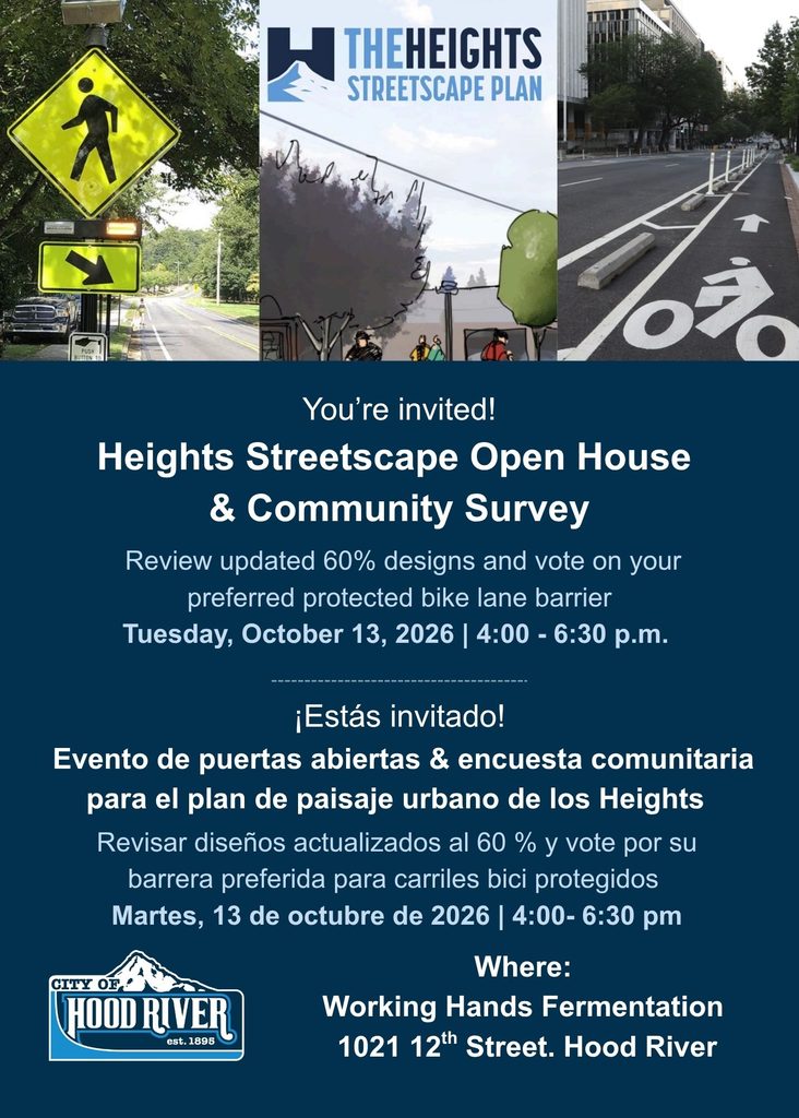
You’re invited! Heights Streetscape Open House & Community Survey
Design is in process for the first three projects in the Heights Streetscape Implementation Plan, and we want to hear from you!
The first projects include enhanced crosswalks at key east/west crossings, a shared use path on Tayor Avenue, and ADA curb ramp installations along 13th Street. Updated 60% designs are ready for public review.
One critical element is a protected bike lane on Taylor Ave. Before advancing to the next stage of design, we have identified several options for the separated bike lane.
You’re invited to join us at Working Hands Fermentation on Tuesday, October 13 anytime from 4-6:30 pm to review updated designs and select your favorite protected bike lane option!
Can’t make it?
Review updated designs and take the survey online using the link below!
Heights October 2026 Open House Outreach Boards
Heights October 2026 Open House Outreach Boards in Spanish
Designs and survey will be available in Spanish shortly.
Heights Streetscape Implementation Plan Projects:
When will the Heights Streetscape projects happen?
The Heights Streetscape Plan is a generational vision that will likely take many years to complete. The plan includes recommended project sequencing (see image below). However, the project timing is not completely under the City or Urban Renewal Agency’s control.
The Heights Urban Renewal District has funds available to complete the first several Heights Streetscape projects. The City gained jurisdictional control of 12th and 13th streets in the Heights from the Oregon Department of Transportation (ODOT) in 2026. Putting these roads under local control will expedite permitting and approval processes. The larger circulation projects, like the roundabout, will move forward as funds are available. Staff will look for grants and other outside funding sources to supplement local urban renewal funding. There is no plan to increase local taxes to pay for Heights Streetscape Projects.

Why is the Proposed Roundabout at May & 13th Streets so large?

It may go without saying, but the smooth flow of the May & 13th Street intersection is critical for the overall functioning of the Heights traffic system. Public input favored a pedestrian and bike-friendly neighborhood street on 12th with through-traffic directed to 13th Street. This change means May & 13th will have to accommodate the bulk of north and southbound traffic. Smooth traffic flow at May & 13th is key to avoiding back-ups and making sure traffic chooses to take 13th instead of 12th street. Avoiding congestion at this intersection is also particularly important for emergency services vehicles because of the proximity to the hospital.
The Heights consulting team weighed multiple intersection options, hoping to minimize both costs and impact on adjoining properties. A traffic light was found to create back-ups to Oak Street on peak summer afternoons. A roundabout with the lane configurations shown above match the existing intersection’s level-of-service designation. In other words, the proposed roundabout will serve vehicles as well as the current intersection after 13th becomes a 2-way street. The dimensions are also designed to continue to accommodate freight traffic while adding a two-way bicycle track as part of Hood River’s Safe Routes to School Plan.
Link to Intersection Design Studies (https://cityofhoodriver.gov/wp-content/uploads/bsk-pdf-manager/2023/05/Phase-3-Design-Studies-Update.pdf)
Can the Roundabout be smaller at first and expanded later as Hood River grows?
The proposed design is sized to accommodate traffic over the next 20-years. It is possible that fewer lanes may be needed when it is first built. However due to the significant grading and retaining walls required, it is not financially sensible to build a smaller footprint first and then enlarge it later. The final design and engineering of the roundabout is likely many years away. Traffic counts and forecasts will be revisited before the roundabout is constructed to ensure it is no larger tha
How will 13th Street handle the increased traffic volume when it is transitioned to a two-way street?
Traffic flow on 13th Street will be aided by a new center turn lane (same configuration as Cascade Avenue near Safeway). The planned roundabout at 13th and May Street will improve traffic flow because cars are not coming in waves like they would with a signalized intersection. The roundabout will also make it considerably easier for vehicles on May Street to cross or merge on to 13th Street.
It is expected that 65% of northbound traffic will choose 13th Street, with the remaining 35% of remaining northbound traffic continuing to use 12th Street once the Heights Streetscape Plan is fully implemented. The irregular layout of the street grid around the Heights does not allow for any significant diversion of traffic volume to adjacent neighborhood roads. This means the future two-way 13th Street, from May to Belmont, would average 16,000 daily trips if it were built today. This compares to 12,000 average daily trips on the similarly configured Cascade Avenue today. A two-way street with center turn lane has capacity for 18,000- 20,000 average daily trips. This is enough capacity to accommodate Hood River’s projected growth through the planning horizon.
Will large trucks still be able to travel through the Heights?
The lane widths, turning angles, and design capacity of the Heights Streetscape Plan all continue to accommodate freight traffic (semi-trucks), which also easily accommodates delivery vehicles and the largest light-truck models (ex. Ford F-450 Super Duty)
How will the Streetscape Plan impact parking?
The Heights Streetscape Plan is estimated to reduce district parking by 13% or 95 spaces once complete. The former parking spaces are primarily repurposed for a protected bike lane on 12th Street and a middle turn lane on 13th. Dedicated bus stops are also added. The new bike and bus infrastructure will allow more people to visit the Heights without using a car. The middle turn lane on 13th street is intended to help the smooth flow of through-district vehicular traffic.
Add New | 12th & 13th On Street | E/W Streets On Street | Off Street Parking | Total Parking |
Existing (2021) | 156 | 148 | 410 | 714 |
Heights Streetscape Plan | 72 | 148 | 399 | 619 |
Parking availability is always controversial. Public input was mixed on this subject but generally favored adding bike and bus infrastructure even if it required some reduction to available parking.
What is Urban Renewal and the Heights Urban Renewal District Specifically?

As stated in the Heights Urban Renewal Plan, “the purpose of urban renewal is to improve specific areas of a city that are poorly developed or underdeveloped. These areas can have old or deteriorated buildings, public spaces that need improvements, streets and utilities in poor condition, a complete lack of streets and utilities altogether, or other obstacles to development.”
The Heights Urban Renewal District was established in 2011 and covers approximately 96 acres centered around State Highway 281. Using tax increment financing, it has a total indebtedness of $8.5 million. In 2011, the Urban Renewal Agency adopted the Hood River Heights Business District Urban Renewal Plan, with input from the Heights Business District Association and the Hood River City Council. The Plan encompasses goals, objectives, and projects relating to economy, district identity, recreation, traffic and transportation, public utilities, public involvement, and housing for the Heights Urban Renewal District.
Will Taxes Increase to Fund these Projects?
No. Urban Renewal funding, which does not increase tax rates, will be paired with grants to complete Heights Streetscape Projects. Projects will be initiated on an “as funds available” basis. There is no intention or plan to ask voters for tax increases to pay for Heights Streetscape projects.
If there is only one lane of traffic, how will emergency vehicles get to the Hospital on 12th?
After the Heights Streetscape Projects are complete, the fastest route for emergency vehicles to the Hospital will be on 13th. 13th Street will have two lanes going in both directions with a center turn lane to further help traffic flow (This is the same lane configuration as Cascade Ave. near Safeway today). The attached map shows the likely ambulance routes to the Hospital depending on where a emergency vehicle is originating from.

Planning to date has included:
- Blue Zone, LLC Walkshop (6/6/2018 Presentation)
- Blue Zone, LLC Walkshop (9/24/2018 Final Presentation with Recommendations)
- Heights Community Meetings
- URAC Project Recommendation Report May 2018
- URAC Thoughts to date on Proceeding with Heights Urban Renewal
- Executive Summary – Hood River Heights Urban Renewal Area Public Input from November 2017 meeting and online survey.
- DOWNLOAD Powerpoint presented at the October 26, 2017 Meeting
- Information 101 about the Heights District and Urban Renewal
- StreetsAlive! Traffic Demonstration Review
- Hood River Heights Urban Renewal PLAN
- Hood River Heights Urb
About the District

The Heights is a Hood River destination, filled with unique homes and diverse local businesses. It is also an important gateway to Mount Hood and the historic family farms and outdoor recreation in the Hood River Valley. As the Heights grows, we need to create a safe streetscape for the pedestrians, bicyclists, and motorists traveling to and through the area every day.
The Height’s central transportation spine is OR 281, linking downtown Hood River with the Hood River Valley. The corridor serves many public amenities, such as Providence Hospital, May Street Elementary School, Hood River Middle School, Jackson Park, and Indian Creek Trail.
The Heights Streetscape Plan focuses on the commercial core of OR 281 between May Street and Belmont Avenue, which has a mix of office, restaurant, and other retail uses, with single and multi-family housing located next to the commercial core. Both the local business district and surrounding neighborhoods are culturally and socially diverse, with a strong Latino community presence.
Heights Streetscape Project – We’d Like to Hear from You!
Do you have questions about the Heights Streetscape Plan that were not addressed in the Frequently Asked Questions (FAQ) above? If so, use the form below to send them to us. Your input helps build the list of FAQs.
