The City continues to take community input for improvements to the Heights streetscape and urban design plan with emphasis on addressing traffic and pedestrian safety, walkability, and the area’s local businesses.
Results from the March survey and stakeholder meetings summary (to date) are now available on the project page.
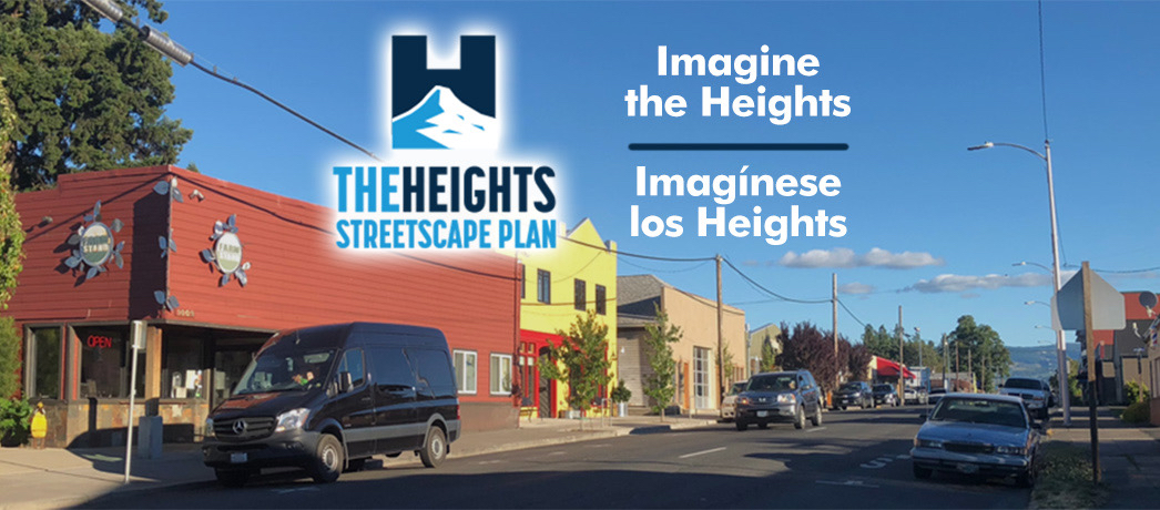
The goal is to establish a plan for the major arterials as well as side streets and intersections along the five-six block area that stretches along 12th and 13th streets, bounded by May Street and Belmont/Union streets. In addition to addressing pedestrian and traffic flow, the project is exploring how design strategies could support a stronger sense of community identity for the area. The area has a mix of office, restaurant and retail uses, with single and multi-family housing located next to the commercial core.
Input is desired to help shape elements such as biking enhancements, intersection improvements, street designs, parking, alley uses and adjacent development. The process is being guided in conjunction with design firm MIG. MIG is providing engineering and design support and will develop a concept plan based on technical analysis and community input. Information about the project and links to provide input is available online at https://cityofhoodriver.gov/urban-renewal/the-heights-streetscape-plan/.
This project is funded through the Heights Urban Renewal District created by the City in 2011 to focus on improvements in the Heights, including those that address streetscape modifications to improve safety for bicycles and pedestrians along 12th and 13th Streets, which also serve as State Highway 281.
Establishing a stronger sense of community identity for the Heights District will also be explored as part of the process. The intent is to incorporate ways to reflect Hood River’s history and evolution as a reflection of the wider community.